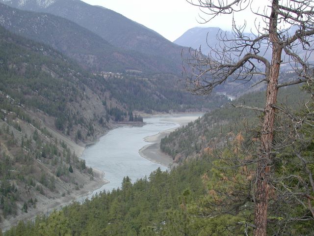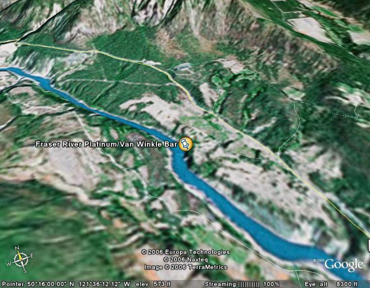

The Fraser River Platinum property, located 3 km northwest of Lytton BC in an area known as the Van Winkle Bar,
covers 413 contiguous hectares (1,020 acres) centered on the Van Winkle Bar, and traversing 4.5 km along
the Fraser
River. Platinum and iridium are known to occur in the black sands of Van Winkle Bar. The source rocks are believed to be
Carboniferous-Jurassic Cache Creek Complex volcanic and sedimentary rocks to the north, where the company has also staked
claims. According to BC Open File 1986-7, the sands of the Van Winkle Bar have assayed up to 5681.1 grams (182.67 ounces) per
tonne platinum.
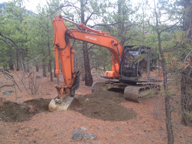
On February 19, 2009, it was announced that gold had been discovered during the first phase of test excavations 400 metres
northwest of the Van Winkle Bar along an old river
channel situated 75 metres higher than the existing Fraser River channel. Prior to this there were no substantive indications
of gold
mineralization in the Fraser River deposit.
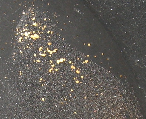
Initial reports from the site indicated that the first two test
pits revealed visible gold in the black sands within two feet
of the surface. The general matrix of the bench placer is described as having fine gold and platinum disbursed
throughout the deposit, but
at low
concentrations. However, pay streaks within the general deposit are distributed in bands throughout the orebody, and are much
more concentrated, especially closer to the original erosion channel. The orebody has been termed a "low velocity deposit,"
and a textbook example for carrying pay streaks at several depths and not just near the erosion channel.
Further exploration work conducted by North Bay in 2009 confirmed the initial findings and resulted in average assays of 520
grams per tonne gold, 5.38 grams per
tonne platinum, and .04 grams per tonne palladium from black sand concentrate.
During the first week of March, 2012,
an exploration and soil sampling program on the Fraser River property was conducted under the supervision of Ms. Agathe
Bernard,
B.Sc. to further block out and assess the deposit area. The sampling occurred at the margins along a boulder area that runs
north to south, with each sample consisting of 0.3 cubic yards of material. The samples were collected and shipped to ALS
Labs in Vancouver for analysis, and the assay results received from the first 7 samples analyzed were as follows:
SAMPLE
DESCRIPTION | Au
(g/t) | Pt
(g/t) |
| | PS12-VW1-120312 | 2.36 | 0.008 |
| PS12-VW2-120312 | 0.11 | 0.025 |
| PS12-VW3-120312 | 0.493 | nil |
| PS12-VW4-120312 | 1.625 | 0.005 |
| PS12-VW5-120312 | 3.26 | nil |
| PS12-VW6-120312 | 5.68 | 0.206 |
| PS12-VW7-120312 | 2.59 | 0.427 |
| AVERAGE | 2.303 | 0.096 |
The Company notes that these samples were all unconcentrated, consisting only of raw in-place bank material. As such, these
raw samples represent what would be expected from one bank cubic yard of gravel. In addition, the Company notes that metal
values in placer deposits often increase substantially with increase in depth towards bedrock, which in the case of the Fraser
is expected to be approximately 75 meters below the surface. On a per yard basis, these results are significantly higher than
the assays achieved by the Company in 2009 from an area further north of the current work area, and confirms our belief that
the Fraser River project is an economical resource that can be mined profitably for many years.
Sources:


